Slipway Website
Whilst searching on the web for slipways on the Trent I came across an excellent website which lists thousands of slipways. Many of these are coastal and so of little interest to Wilderness owners but there are also a significant number of inland sites.

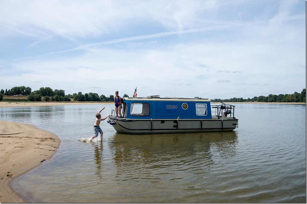
(Click on any image to enlarge)
By following the link below you are taken to a webpage consisting of a Google map of northwest Europe and an introduction to the site itself. This gives details of how to use the site to find slipways or how to edit the information already there. Users are positively encouraged to help keep data up to date and to add information about slipways not already listed. This is very easy, as is uploading a photo of the slipway itself to the site.
To find a slipway, simply zoom in on the map to the area you are interested in visiting. As you do, blue or red pins appear. The blue pins represent marinas with slipways, the red isolated slipways. Clicking on a pin opens up the information about that site in the lower half of the page. It could not be easier.

One of my favorite features is that there is a blue box in the top right hand corner of the webpage inviting you to “check out our free downloads and overlays”. By doing this you can download files to add points of interest (POIs) to certain satellite navigation packages and to Google Earth. The Google Earth feature is excellent as it is much easier to move around and zoom in on than the Google map provided on the website itself. Depending on the resolution of the image for the area you are looking at, you can almost always see the slipway and can even sometimes see the depth of water change as you go down the slip. Double clicking on a pin in Google Earth opens the information about that site on the Boatlaunch webpage in your web browser.

The only disadvantage of displaying the pins on Google Earth is that when you zoom out, the whole of the UK is covered in red and blue pins. This can be avoided by unticking the Boatlaunch slipway and Boatlaunch marina checklist boxes in the Places section to the left of the map.
Having spoken to our webmaster Bill Perry about this site, we have agreed that it would be a waste not to make use of the fantastic amount of information already on the website and instead duplicate it on our own inhouse slipway information pages. He intends to try to embed the Boatlaunch site in to the Wilderness site but has had a few problems. In the mean time, just follow the link above. We do intend to maintain the international slipway information on the Wilderness site rather than use the Boatlaunch site.
John Parker